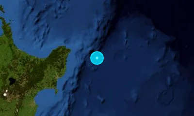
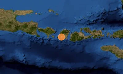
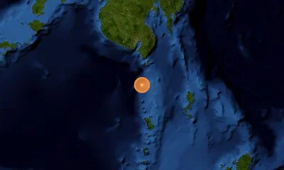
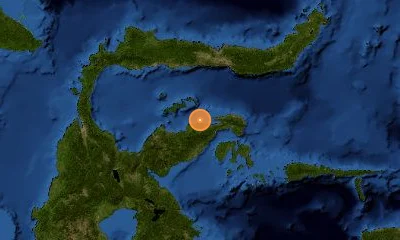
4 earthquakes recorded in Philippines regional monitoring zone
Real-Time Earthquakes in the Philippines
Continuous seismic tracking along the Philippine Trench, Manila Trench, and Philippine Fault Zone.
Recent Earthquakes in the Philippines
LIVELive telemetry feed and seismic report for earthquakes in the Philippines.
Active Fault Systems & Tectonic Setting
Geodynamic boundaries, subduction dynamics, and crustal deformation zones.
The Philippines lies along the Pacific Ring of Fire in the complex Philippine Mobile Belt, bounded by opposing subduction zones (Philippine Trench to the east, Manila Trench to the west). This complex tectonic regime creates high seismic risk monitored in real time by PHIVOLCS.
Philippine Fault Zone (PFZ)
Left-Lateral Strike-Slip1,200 km fault zone transecting the entire archipelago from Luzon to eastern Mindanao.
Manila Trench
Subduction MegathrustConvergent interface west of Luzon where the South China Sea oceanic crust subducts eastward.
Philippine Trench
Subduction MegathrustDeep oceanic trench east of the archipelago accommodating subduction of the Philippine Sea Plate.
Marikina Valley Fault System (Valley Fault System)
Dextral Strike-SlipActive fault traversing the eastern edge of Metro Manila with significant urban hazard potential.
Landmark & Historical Earthquakes
Significant seismic benchmarks, cataloged magnitudes, and geological impacts.
Rizal, Nueva Ecija, Luzon
July 16, 1990Ruptured 125 km of the Digdig Fault in the Philippine Fault Zone, devastating Baguio and Dagupan.
Moro Gulf, Mindanao
August 17, 1976Subduction thrust in the Cotabato Trench generating a devastating 9m tsunami across the Moro Gulf coastline.
Sagbayan, Bohol
October 15, 2013Reverse thrusting along the previously unmapped North Bohol Fault; destroyed historic colonial coral-stone churches.
Frequently Asked Questions
Common questions about seismic activity, safety, and monitoring in Philippines.
What is 'The Big One' hazard in Metro Manila?▾
'The Big One' refers to a potential M7.2 earthquake on the West Valley Fault, which traverses eastern Metro Manila (Quezon City, Marikina, Pasig, Makati, Taguig, Muntinlupa).
Why does the Philippines have subduction trenches on both sides?▾
The Philippine Mobile Belt is an active tectonic sandwich, compressed between the eastward-subducting Eurasian/South China Sea plate along the Manila Trench and the westward-subducting Philippine Sea Plate along the Philippine Trench.
How does PHIVOLCS categorize earthquake intensity?▾
PHIVOLCS uses the PHIVOLCS Earthquake Intensity Scale (PEIS), ranging from Roman numeral I (Scarcely Perceptible) to X (Completely Devastating), to measure surface shaking impact.