18 earthquakes recorded in Indonesia regional monitoring zone
Real-Time Earthquakes in Indonesia
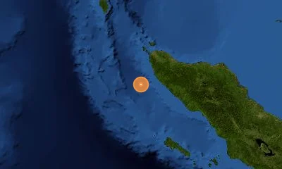
Continuous seismic tracking along the Sunda Megathrust, Great Sumatran Fault, and Banda Arc.
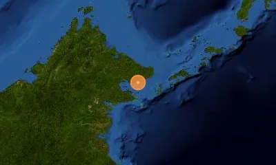
Massive M 7.7 Deep Subduction Earthquake Strikes Banda Sea Region, Indonesia — Felt Across Northern Australia
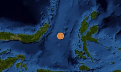
A massive magnitude 7.7 earthquake ruptured at an intermediate depth of 97 km in eastern Indonesia's Banda Sea, approximately 130 km southwest of the Tanimbar Islands. Tremors reverberated across Maluku, Timor-Leste, and as far south as Darwin, Australia.
Recent Earthquakes in Indonesia
LIVELive telemetry feed and seismic report for earthquakes in Indonesia.
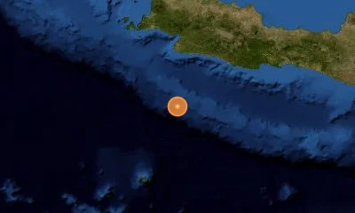

Active Fault Systems & Tectonic Setting
Geodynamic boundaries, subduction dynamics, and crustal deformation zones.
Indonesia lies along the Pacific Ring of Fire at the convergence of the Indo-Australian, Pacific, and Sunda plates. Subduction along the Sunda Megathrust generates frequent, high-magnitude seismic events and volcanic activity across the archipelago.
Sunda Megathrust
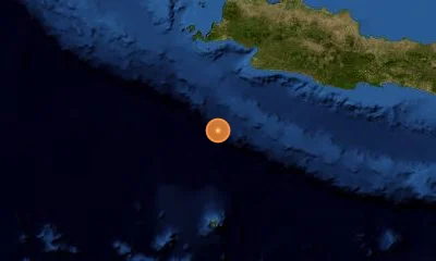
Subduction Megathrust5,000 km subduction trench stretching from the Andaman Islands across Sumatra, Java, and Bali.
Great Sumatran Fault (Semangko Fault)
Right-Lateral Strike-Slip1,900 km onshore strike-slip fault accommodating oblique plate convergence through Sumatra.
Palu-Koro Fault
Left-Lateral Strike-SlipHigh-slip-rate transform fault traversing central Sulawesi, responsible for the 2018 Palu disaster.
Flores Back-Arc Thrust
Compressional Back-Arc ThrustActive thrust fault extending north of Flores and Sumbawa in the Lesser Sunda Islands.
Landmark & Historical Earthquakes
Significant seismic benchmarks, cataloged magnitudes, and geological impacts.
Offshore Northern Sumatra / Aceh
December 26, 2004Megathrust rupture along Sunda Trench; generated the catastrophic Indian Ocean tsunami affecting 14 countries.
Palu, Central Sulawesi
September 28, 2018Strike-slip event triggering massive soil liquefaction flows in Petobo and localized bay tsunamis.
Bantul, Yogyakarta, Java
May 27, 2006Shallow crustal rupture along the Opak Fault causing heavy structural damage in ancient volcanic deposits.
Frequently Asked Questions
Common questions about seismic activity, safety, and monitoring in Indonesia.
How does InaTEWS detect tsunamis in Indonesia?▾
InaTEWS utilizes seismic telemetry, coastal tide gauges, and DART ocean buoys processed by BMKG to broadcast tsunami advisories within 3 to 5 minutes of earthquake detection.
Why are earthquakes in Indonesia so frequent?▾
Indonesia sits at the convergence of three major tectonic plates—the Indo-Australian, Eurasian, and Pacific plates—creating continuous subduction, crustal faulting, and active volcanism across 17,000 islands.
What is soil liquefaction and why did it happen in Palu?▾
Liquefaction occurs when saturated loose soil loses strength during strong shaking, behaving like liquid. In the 2018 Palu quake, saturated alluvial sands in gently sloping terrain liquefied, triggering massive lateral mudflows.