87 earthquakes recorded in New Zealand regional monitoring zone
Real-Time Earthquakes in New Zealand
Continuous seismic tracking along the Alpine Fault System, Hikurangi Subduction Zone, and Kermadec Trench.
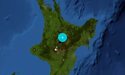
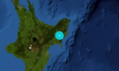
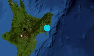
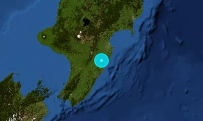
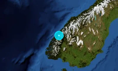
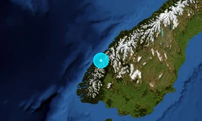
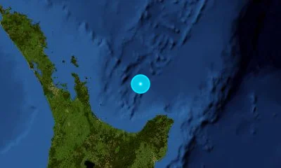
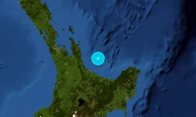
Recent Earthquakes in New Zealand
LIVELive telemetry feed and seismic report for earthquakes in New Zealand.

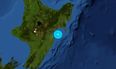
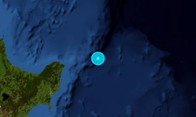
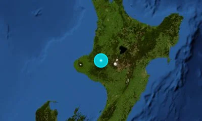
Active Fault Systems & Tectonic Setting
Geodynamic boundaries, subduction dynamics, and crustal deformation zones.
New Zealand straddles the active boundary between the Pacific and Australian tectonic plates. Oblique convergence creates complex faulting, including the Alpine Fault and Hikurangi Subduction Zone, monitored in real time by GeoNet.
Alpine Fault
Dextral Transpressional Strike-Slip800 km fault running the length of the Southern Alps; ruptures in recurring M8.0 events roughly every 300 years.
Hikurangi Subduction Zone
Subduction MegathrustConvergent interface off the North Island's East Coast capable of M8.5+ megathrust earthquakes.
Marlborough Fault System (Hope, Wairau, Awatere)
Dextral Strike-SlipNetwork of parallel strike-slip faults transferring motion between Alpine Fault and Hikurangi Trench.
Wellington Fault
Dextral Strike-SlipMajor fault passing directly through downtown Wellington and the Hutt Valley.
Landmark & Historical Earthquakes
Significant seismic benchmarks, cataloged magnitudes, and geological impacts.
Christchurch, Canterbury
February 22, 2011Shallow blind faulting directly under southeastern Christchurch with extreme ground accelerations (2.2g) and liquefaction.
Kaikōura, South Island
November 14, 2016Complex multi-fault rupture across 20+ distinct onshore and offshore faults; uplifted coastline up to 6 meters.
Hawke's Bay / Napier
February 3, 1931New Zealand's deadliest earthquake; raised the Ahuriri lagoon seabed and prompted art deco rebuilding.
Frequently Asked Questions
Common questions about seismic activity, safety, and monitoring in New Zealand.
What is New Zealand's 'Long or Strong, Get Gone' rule?▾
If you are near the coast and feel an earthquake that is either LONG (lasting more than a minute) or STRONG (hard to stand up), evacuate immediately to high ground without waiting for official tsunami sirens.
When is the next Alpine Fault earthquake expected?▾
The Alpine Fault has ruptured regularly roughly every 300 years (last in 1717 AD). Paleoseismic research estimates a 75% probability of a magnitude ~8.0 event within the next 50 years.
How does GeoNet monitor tremors in New Zealand?▾
GeoNet operates hundreds of seismometers, GPS stations, and acoustic sensors across New Zealand, streaming real-time earthquake and volcanic data to the public and emergency responders.