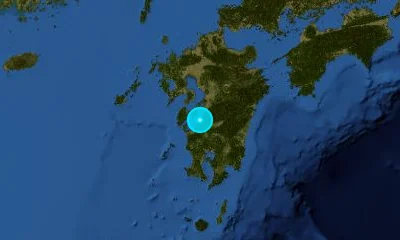
100 earthquakes recorded in Japan regional monitoring zone
Real-Time Earthquakes in Japan
Continuous seismic tracking along the Japan Trench, Nankai Trough, and Pacific Ring of Fire.
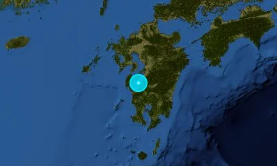
Recent Earthquakes in Japan
LIVELive telemetry feed and seismic report for earthquakes in Japan.

Active Fault Systems & Tectonic Setting
Geodynamic boundaries, subduction dynamics, and crustal deformation zones.
Japan sits at the intersection of four major tectonic plates (Pacific, Philippine Sea, Eurasian, and Okhotsk). The subduction of the Pacific and Philippine Sea plates beneath Japan generates frequent megathrust events, active volcanism, and automated EEW (Early Warning) alerts.
Japan Trench & Kuril Trench
Subduction MegathrustDeep oceanic trench where the Pacific Plate dives beneath northeast Honshu and Hokkaido.
Nankai Trough & Suruga Trough
Subduction MegathrustHigh-risk convergent margin along southern Honshu with periodic M8+ recurring megathrust cycles.
Median Tectonic Line (MTL)
Right-Lateral Strike-SlipJapan's longest onshore fault system cutting across Shikoku and the Kii Peninsula.
Itoigawa-Shizuoka Tectonic Line (ISTL)
Intraplate Compressional ThrustMajor tectonic suture dividing northeast and southwest geological domains in central Honshu.
Landmark & Historical Earthquakes
Significant seismic benchmarks, cataloged magnitudes, and geological impacts.
Offshore Sanriku, Tohoku
March 11, 2011Great East Japan Earthquake; spawned a massive tsunami up to 40m, precipitating the Fukushima Daiichi nuclear accident.
Awaji Island / Kobe, Kansai
January 17, 1995Great Hanshin earthquake directly rupturing beneath dense urban infrastructure; overhauled modern Japanese seismic codes.
Sagami Bay, Kanto Region
September 1, 1923Great Kanto Earthquake; caused devastating urban fires in Tokyo and Yokohama.
Noto Peninsula, Ishikawa
January 1, 2024Shallow reverse fault rupture causing substantial coastal land uplift and localized tsunami waves.
Frequently Asked Questions
Common questions about seismic activity, safety, and monitoring in Japan.
What is the JMA Seismic Intensity (Shindo) scale?▾
Unlike moment magnitude (Mw) which measures total seismic energy, Japan's Shindo scale (0 to 7) measures the localized intensity of surface shaking experienced at specific geographic points.
How fast is Japan's Earthquake Early Warning (EEW) system?▾
JMA's EEW detects the fastest-moving P-waves at near-epicenter seismometers and broadcasts audible alarms to smartphones and television networks seconds before destructive S-waves arrive.
What is the Nankai Trough earthquake hazard?▾
The Nankai Trough has produced M8+ megathrust ruptures roughly every 100 to 150 years. Government seismologists estimate a 70–80% probability of an M8–M9 event occurring within the next 30 years.